❌

Normal view

There are new articles available, click to refresh the page.
Before yesterdayThe Long Green Tunnel

W6/SS-269

By: Jeff
1 August 2024 at 04:48

Β This is one of three SOTA peaks in the Kaiser Wilderness above Huntington Lake. After some staring at a map, I decided the easiest approach was to drive up to Kaiser Pass, then follow the ridge. This is broadly what we did.

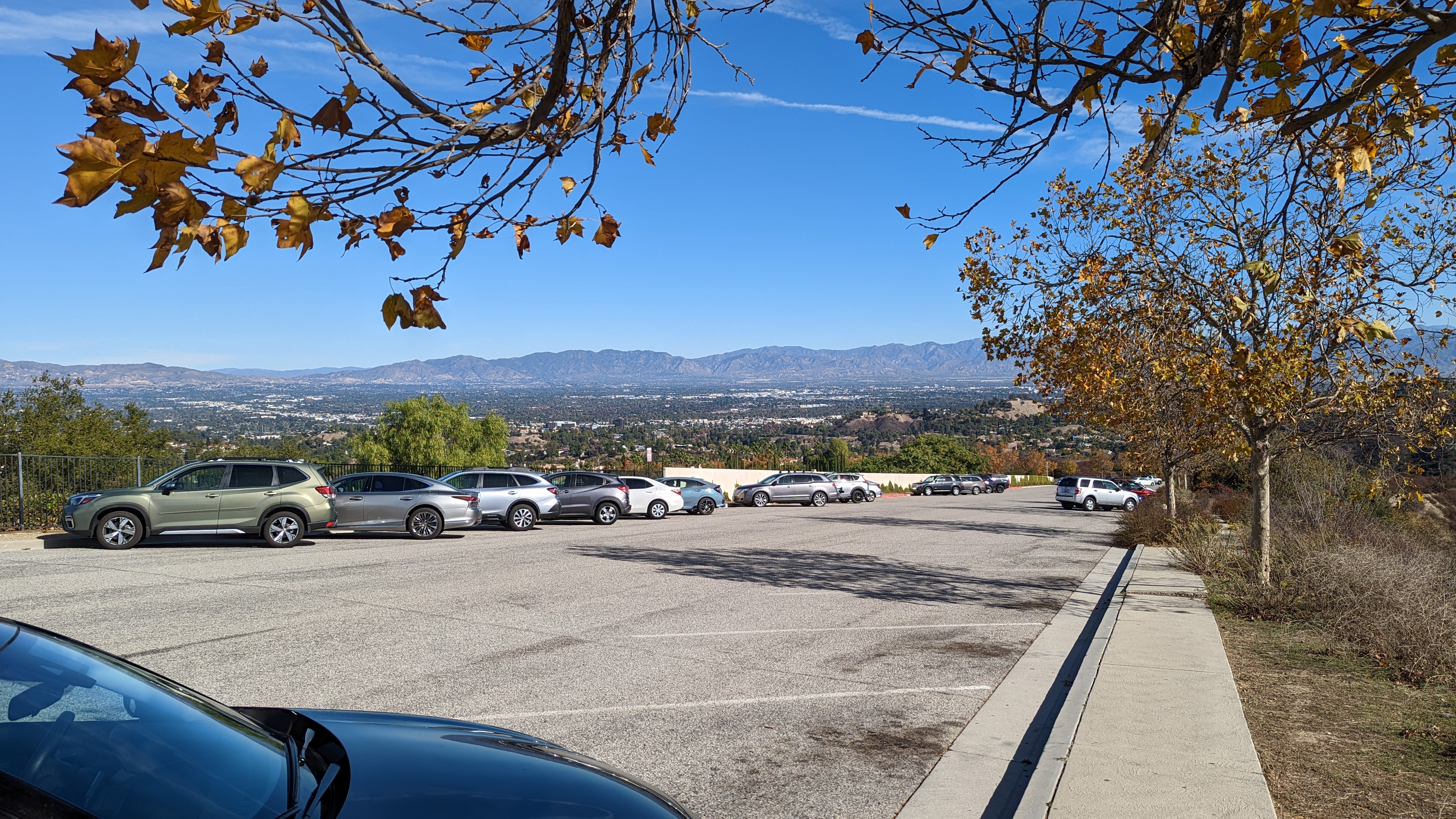
About to enter the wilderness.

The road gets pretty narrow and windy on the way up to the pass, so be prepared for that. There was plenty of parking at the pass, and even some bathrooms. Much cushier than I expected. Heading up the hill we passed a few campfire rings, then the sign marking the wilderness boundary. The slope here is pretty gentle, and it was a pleasant walk through a Sierra forest. On top of the first sub peak we headed down to the col.

Enjoying the view from the open areas.

On the way there we stayed high enough to avoid the marshy meadows. It was probably slightly longer, but having dry shoes made it worth it. The original plan was to get on the ridge and follow it to the summit, but the ridge looked pretty rough. We decided to stay a little below where we only had to walk through calf-high brush. Going was pretty easy, and there weren't any areas we had to fight through.

Huntington Lake.

After you pass around the last sub-peak, you can see the summit above you. This climb was the steepest of the day, but nothing terrible. From below it looks like there are some cliff bands, but the rocks are broken and it was easy to just walk to the summit. From the top the views to the north were excellent, there being a cliff on that side of the mountain. My Verizon phone had ok service, enough to put out some spots. AT&T had some, but not as good.

Making contacts with the new KH1.

The bands were not in good shape, but I managed to get enough on HF with only the KH1 whip. We called on 2m for a while, but there was a station hogging the calling frequency, so we didn't make many there.Β 

We retraced our steps, more or less, to get back to the car. We stayed a little lower on the ridge during the traverse, and it was just as easy as higher. It did mean, however, we had to cross the wet meadow. Luckily we were able to find enough solid ground to keep our feet dry. Back at the car we coasted down the hill to the general store at the marina to get some snacks and beverages, then back to the campground to relax by the lake.

Trailhead: Kaiser Pass.
Website:Β SOTA Site.
Route: Head west into the wilderness and follow the ridge around and up to the summit.
Red Tape:Β None. Permit needed if you want to camp in the wilderness.

HL/SL-009 Namsan

By: Jeff
29 April 2024 at 18:01

Β We were in Korea for vacation, so naturally I wanted to do some SOTA. Korea is a mountainous place, and it looked like there were plenty of choices. The first summit we did is in the middle of Seoul, literally. The geographic center of the city is on the side of the plaza on top.

The tower is visible from a lot of places in the city, including this traffic island in Myeongdong.

Our hotel was in the Myeongdong neighborhood, near the Hoehyeon subway station. From exit 1, head uphill through the neighborhood. There was a flight of stairs just below a busy road, which we crossed to enter Baekboem Plaza. The tower on top was visible from here, and it was easy to follow the path to the bottom of the staircase.Β 

From the plaza. Still some blossoms on the trees!

Since the summit is easy to get to in a big city, there were a lot of people out. The stairs up to the top were wide and paved. There are plenty of benches, and even a few viewing platforms on the way. It was hazy as we ascended, but we could still see Bukhansan a few kilometers away to the north. We were glad it was cool out, it probably would have been a miserable hike in the summer.
Base of the stairs.

You know you are close when you see the cable car terminal. This is also where it goes from busy to crowded. Once you make it up the last few stairs, there are plenty of benches around the plaza and under the structure. We sat for a few minutes taking in the scene. On one side the fence is filled with locks that couples have attached. There was even a vending machine to buy your own to add.
High point of Namsan.

We found a bench out of the way, and I got on 2m. I had been warned that Korean hams are chatty, and they were. It took a couple of minutes calling CQ, but I soon had a long conversation with someone who couldn't quite get my Korean callsign (HL1/AA6XA). The slash seemed to trip him up. After a long chat I got two more stations in the log. Some more CQ calls didn't get anyone else, and we were getting bored and hungry, so I packed up. I thought about trying HF, but there really isn't anywhere to put up a wire without getting in people's way.

At the geographic center of Seoul.

We took the stairs back down, then turned onto a different road to get to the bibimbap restaurant near the base. It was a tasty and well earned lunch.Β 

Trailhead:Β We started from Hoehyeon Station exit 1, but there are myriad routes one could take
Website:Β SOTA Site.
Route:Β Make your way through the streets to the base of the stairs, then up the stairs to the summit. Or take the cable car.
Red Tape:Β None.
Video: https://youtu.be/PhfTnJKnz4U

W6/CT-241 Pedley Hills

By: Jeff
6 November 2023 at 19:14

This is not the most interesting summit I've done. It is, however, a short and easy hike. Drive up to the end of Lakeside Drive, and find a place to park in the neighborhood. At the end of the pavement, the dirt starts and it is a quarter mile up to the summit.

The summit is visible from the trailhead.

You can see where you want to go, so just walk on up. The eroded jeep trails are an easy walk, but would require some serios OHV capability to drive. The top is rocky, but it wouldn't be too hard to set up an HF antenna. I was short on time, so I did VHF only. It took about 15 minutes to get four contacts, and I was worried I'd have to leave before I got number four.Β 
Views of the Jurupa Hills, and the San Gabriel Mountains.

Talking with locals later, it sounds like that area is just not very good for VHF. Too low and far away from the chasers in LA, and not that many hams in the inland empire. Oh well, next time I'll leave more time for HF.
Back at the car it was a short drive over to the airport for my flight home.Β 

Trailhead:Β End of Lakeside Dr.
Website:Β SOTA Site.
Route:Β Walk up to the summit. You can see it from the end of the road.
Red Tape:Β None that I'm aware of.
Video:Β Coming Soon!

W7O/WV-099 Cooper Mountain

By: Jeff
6 October 2023 at 04:36

Β This mountain west of Portland is an easy activation. There are a few places you can activate from. The traditional spot is at the Winkelman dog park on SW175th Ave in Beaverton. But the Cooper Mountain Nature Park on SW Kemmer Road is also in the activation zone, and this is where I chose to set up. See the video linked at the bottom for a longer exploration of the actual activation zone.

Not the greatest view, but at least I was in the shade.

There was plenty of parking on the Thursday afternoon I stopped by. There wasn't much shade in the parking lot, though, so I walked a few meters down the trail to a picnic table under a tree. I wasn't in the mood for setting up HF, so I only brought my HT and did 2m. The hill is in the middle of the Portland metro area, so there were plenty of chasers. Most people were on 58, but I did get one random person on 52. There was a bit of interference from something, so I was glad to have the band pass filter with me.

Getting those QSOs.

After I had made half a dozen contacts, N7KOM took his dog up to the park, and I drove over to have an eyeball QSO. It is always nice to meet SOTA people from other areas. It was hot, and I was getting tired, so after talking a while I headed back to the city.

Trailhead:Β Winkelman Park or Cooper Mountain Nature Park
Website:Β SOTA Site.
Route:Β Both parking lots are in the AZ, so find somewhere comfortable to set up.
Red Tape:Β Dogs are not welcome at the nature park, and I wonder if they really want people stringing wire antennas around there. I had no issues doing VHF only.Β Β 

Sunol Peak W6/NC-244

By: Jeff
8 May 2023 at 19:31

Β Some time recently Pleasanton Ridge regional park was expanded to include the southern part of Sunol Ridge. This is great news for peak baggers and SOTA enthusiasts - there is now a public trail to the summit. The trailhead is the Tyler Ranch Staging Area at the end of Foothill Road in Sunol. There is a large dirt lot with pit toilets.

Looking down at the new parking lot.

There are two trails that head up from here. The shorter paved road, or the dirt trail that rejoins the road at the end of the pavement via a long switchback. I took the switchback up and the road down for some variety. The main trail that runs up and along the ridge is called the Sunol Ridge Trail. Stay on this, and you'll be taken directly to the summit.Β 
Partway up the steep section.

The forecast was not great for the Friday I went, but I decided to risk it. It was pretty nice below the clouds, but as I climbed it got colder and windier. Around the base of the clouds it even rained a little. There were no views, sadly. Just before the summit I scared some cows out of the way, then reached the paved road that comes up from the west. I took this the last quarter mile or so to the top.
View as I approached the summit.

It was cold and windy, so I walked around the fence surrounding the many towers to try and find somewhere out of the wind. I partially succeeded, but it was a cold activation. There was some sort of HF blackout that morning, and I barely made three contacts on 20-30-40. Luckily I had thrown in my HT just before leaving, so I was able to get enough contacts for the point.
Looking over at Pleasanton Ridge on the way down.

The clouds had lifted some while I was on the summit, so I had some ok views on the way down. The high peaks were still obscured, but I enjoyed what I could see. I also was moving pretty quick, since I was cold after sitting for so long. The hike down was quick, and a real leg workout. Overall, it was a good hike, and I'm glad this new area has been opened.

Trailhead:Β Tyler Ridge Staging Area
Website:Β SOTA Site.
Route:Β Take the Sunol Ridge Trail to the summit.
Red Tape:Β None.
Video:Β Coming Soon!

January VHF Contest 2023

By: Jeff
24 January 2023 at 21:12


Β It was a beautiful day as I hiked up to Loma Alta (W6/NC-350), my usual VHF contest spot. I was worried it would be very muddy after all the recent rains, but the trail seems to have mostly dried out. The was water running in the trail, but it was in little erosion channels. The flat areas a little below the summit were more muddy, but my socks stayed dry.

Looking down Lucas Valley.

I was a bit worried it would be really busy since the parking area was totally full, but I didn't see that many people on the trail. Maybe everyone was going to Big Rock Ridge instead. It seemed like a long two miles to the summit, but I was carrying a lot of stuff.
Two of the antennas.

I brought my usual six-band setup. This includes yagis for 144, 222, 432, 920, 1296, and EDZs for 6m and 2m. Four radios, four transverters, and lots of connectors and coax. I'd bring 10GHz, but no one from the local microwave club ever seems to get on for this contest, so its not worth it. I've gotten good at setting it up, so I had some spare time before the start, which I used to make some 10m SOTA contacts.Β 
Extended Double Zepp pole.

The first hour of the contest was action packed, and I made lots of QSOs, particularly on 6m and 2m. After that it slowed down a lot. I'm not sure why activity was so slow this year. My best guess is that it was the first nice weekend of the year, and people were tired of being cooped up inside. So they went out instead of sitting at their radios.
As expected, 223 and 902 were not very active. Two meters provided the most contacts. It will be interesting to see how the scoring works out this year now that there are "all mode" and "analog only" subcategories. My guess is that single operator portable stations don't do much FT8, so the competition will be similar.
So much stuff to carry.

I took a break part way through to try out 12m. I did get a Japanese station, but there weren't many other takers. After some more calling on the VHF bands I eventually decided to pack it up. As I was taking down the 6m EDZ, on leg came off. It was nice of the antenna to break at the end of the day instead of during setup. I made it back to the car before sunset, which is unusual for me.Β 
I had plenty of time to let my mind wander since it was so slow. I definitely need to finish my Mountain Top VHF presentation and give it to the area clubs to try and drum up more activity. More QSOs means more fun for everyone! Overall, I'm claiming a score of 1,820, 63 QSOs and 20 mults.Β 
Here's hoping June will be better!Β 

W6/CT-218 Temescal Ridge

By: Jeff
29 December 2022 at 23:06


Β It was a warmer than expected day as I drove up Reseda Blvd. At the end is Topanga State Park, with Temescal Ridge my goal. At the end of the road there is paid parking, but if you're willing to walk a little farther you can park for free below. I was feeling cheap, so I used the free parking, then set off up the hill.

Top of the free parking lot.

There are a lot of trails in the park, so bring a map. I didn't see any paper ones available for taking at any of the kiosks. I took a fire road that seemed to be going in the right direction. It was, but it would've been more direct to take a single track trail at the start.

Looking back at Oat Mountain.

The fire road trail winds its way up nearly to the summit. About 3/4 of a mile before the summit the road reaches a col with a pit toilet and bench. After a quick pit stop I continued up to the top. Just before the summit a trail reaches the road. Take this single track up to the high point.

Pacific Ocean

The very top of the mountain is pretty small, so I went down a few feet to set up near some bushes. I didn't have cell service where I was sitting, but RBNhole spotted me no problem. Once I was done on HF I went to the top for some VHF and made a few more contacts.

Summit just behind my pole and antenna.

I took the same route down, mostly. I did take a little single track that went over one of the bumps. It added some variety, though there were some steep parts. Back at the car I put on some clean clothes before heading to the airport to go home.

Trailhead: End of Reseda Blvd. There is both free and paid parking.
Website:Β SOTA Site.
Maps:Β AA6XA SOTA Hikes map.
Route:Β  Take the fire road to just below the summit, then take the Backbone Trail up to the top.
Red Tape:Β None.Β 
Video:Β ham_bitious YouTube

❌
❌